WEATHER CAMS: I'm ordering the camera systems tomorrow and should have them installed later next week or early the following week. The poll favored downtown, so the first two go up there. One looking west from the Chamber of Commerce, the other looking east from Stacey's. Bohemia Gold Mining Museum may host a third one looking west at Bohemia Park. These cameras will be live 24/7. Together we can!
DROUGHT: Precipitation is running far behind - normal to date 25.03", but we've only recorded 16.59", which is 66% of normal (since start of water year on Oct 1). Our region of the snow pack is at 82% of average. Not good. The weekly drought monitor updated today still shows 64% of Oregon in a drought (no change from a week ago). On November 1, we were at 81%. While this is an improvement, it's not great because if we had at least normal rainfall, the current 64% would be closer to 30-40%. Outlooks for February/March signal better odds for above normal precipitation. Keep in mind that this is not a slam dunk, and merely how "odds" look right now.
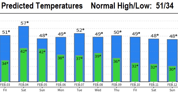
STORMS: Four low pressure systems will affect the state tomorrow (Friday) through the end of next week and into the following weekend, with less than 2" of total rain here. Friday will be a little breezy with light showers (mainly afternoon-evening, around 1/10" total); winds can gust up to 25 mph at times 10am-6pm. Dry Saturday morning, then rain chances increase as the afternoon wears on (total rainfall Sat evening through Sunday 1/2"). These are not "cold" systems, so NO SNOW HERE. No strong wind concerns here. Cascades will add about a foot to a foot and a half of total new snow at the higher elevations. Snow levels through the end of next week will vary at 3000-4000'.

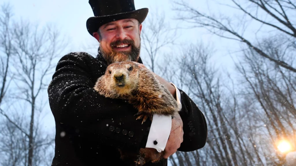
Happy Groundhog Day! Punxsutawney Phil saw his shadow this morning, so six more weeks of winter!
